
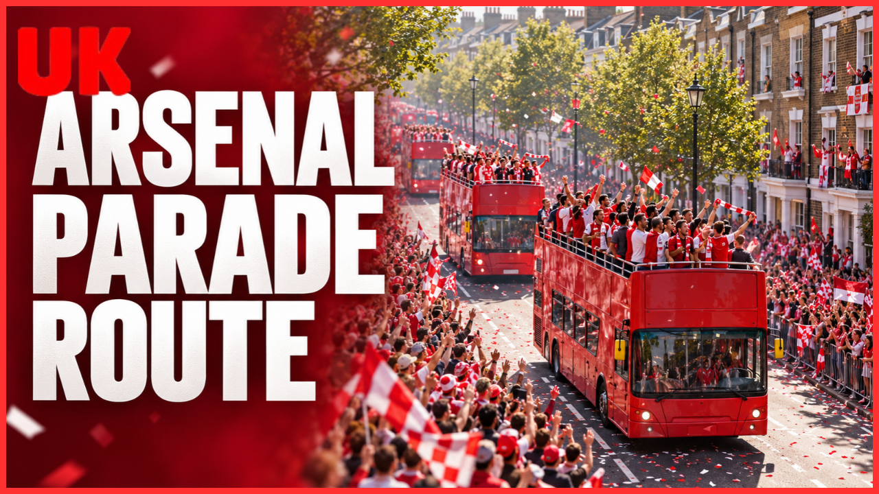
Looking for the Arsenal parade route? The important first step is checking the event date: maps from different celebrations can show different streets, destinations and viewing arrangements.
Arsenal’s parade on Sunday, 31 May 2026 followed a loop through north London, starting and returning near Emirates Stadium. This guide explains that route, the event’s transport arrangements and how to avoid confusing historical information with plans for a future celebration.
Which Arsenal Parade Does This Guide Cover?
This article covers the May 2026 trophy parade, which has already taken place. Islington Council published its post-event account on 2 June, praising the community and staff involved in delivering the celebrations.
The event brought together the men’s Premier League winners and Arsenal Women with their FIFA Women’s Champions Cup. Four buses were announced, carrying players, backroom staff and representatives of the wider Arsenal community.
That date matters when reading an Arsenal victory parade guide. A page saying “Sunday” or “this weekend” may still appear in search results months after publication.
For any later event, treat this route as historical background until Arsenal publishes new arrangements. A previous celebration does not establish the next parade’s date, streets or access rules.
Arsenal Parade Route: The Streets in Order
Sky News’s event guide described a circular route leaving the Emirates area, travelling through several north London neighbourhoods and returning towards the stadium.
The published street sequence was:
- Emirates Stadium area
- Holloway Road
- Seven Sisters Road
- Blackstock Road
- Mountgrove Road
- Green Lanes
- Petherton Road
- Beresford Road
- Newington Green Road
- Essex Road
- Angel
- Upper Street
- Holloway Road
- Return towards Emirates Stadium
The southern section reached Angel before turning north along Upper Street. Holloway Road therefore appeared in both the outward and returning sections of the route.
Did the parade finish at Islington Town Hall?
The published arrangements did not include a stationary trophy presentation at Islington Town Hall or Emirates Stadium. Arseblog’s report of the club’s announcement explained that the buses would remain moving along the route.
This is an important distinction for anyone comparing maps. Passing through the Upper Street area did not mean supporters should expect a balcony appearance or a separate closing ceremony.
What Time Did the Parade Start?
The announced start time was 2pm on Sunday, 31 May 2026, according to Time Out’s report of the confirmed arrangements.
A parade start time is not an arrival time for every viewing location. Buses must travel between sections, and movement can depend on operational conditions.
For future events, avoid estimating an exact passing time from the distance alone. Unless organisers publish location-specific timings, allow flexibility and follow instructions at the viewing area.
It also helps to distinguish between the bus route and public access. A street used for staging or returning vehicles may have different pedestrian arrangements from an advertised viewing stretch.
How Transport Was Affected
The May event involved substantial changes around the route. Sky News reported that TfL encouraged supporters to use Finsbury Park, while Holloway Road station was closed and other nearby stations had restrictions. Drayton Park and Essex Road stations were also listed as closed for the day.
These were arrangements for that specific event. They should not be presented as current station conditions or automatically applied to another parade.
Why the nearest station may not be the best choice
A station can look convenient on a map yet be unsuitable during a large celebration. Entry controls, crowd management and changed stopping patterns can affect the journey.
For example, someone aiming for a viewing point near Holloway Road in May could not simply assume Holloway Road station would provide access. The event-day restriction changed that calculation.
When planning another visit, compare the official viewing map with current transport information. Check the return journey too: your arrival station may not be the easiest departure point.
Road Closures and Viewing Access
Time Out’s May guide listed vehicle closures across the route and surrounding streets, together with parking suspensions. It also identified separate pedestrian restrictions, including sections of Drayton Park and nearby roads.
A road closure map and a parade route map serve different purposes:
| Map or notice | What it tells you |
|---|---|
| Parade route | Where the buses are expected to travel |
| Vehicle closure notice | Where driving access is restricted |
| Pedestrian access notice | Where walking access is controlled |
| Transport update | Which services or stations are affected |
A street appearing on a closure list does not necessarily mean the parade passes along it. Equally, a road on the bus route does not guarantee access from every adjoining street.
For future events, choose a permitted viewing area and identify an alternative before travelling. A practical backup is more useful than relying on one supposedly perfect spot.
How to Check a Future Arsenal Parade Route
Use this straightforward process before making travel plans.
1. Confirm the event and publication date
Check that the announcement names the relevant trophy celebration and year. Avoid relying on undated screenshots.
2. Find Arsenal’s event announcement
Look for the route map, start time, viewing instructions and any information about tickets or restricted areas.
3. Check council notices separately
Read the relevant council’s road closures and pedestrian restrictions. These may contain details that a simplified supporter map leaves out.
4. Check live transport information
Use TfL and National Rail information close to departure. Save an alternative journey in case access changes.
5. Plan a meeting point and return route
Choose somewhere outside the busiest viewing area to regroup. Keep essential directions available offline rather than depending entirely on a mobile signal.
Frequently Asked Questions
Where did the Arsenal parade route start and finish?
The May 2026 route started near Emirates Stadium and returned towards it after looping through north London.
Did the parade travel along Upper Street?
Yes. The published route went north along Upper Street after reaching Angel, before continuing towards Holloway Road.
Was there a trophy presentation at Islington Town Hall?
No stationary trophy presentation was included in the published May 2026 arrangements.
Could supporters attend without a ticket?
Sky News described the May 2026 street parade as free to attend. Future celebrations may have different access arrangements.
Can the same route be used to plan for another parade?
Use it for background only. A later event needs its own confirmed route, transport information and access guidance.
Conclusion: Check the Date Before Following the Map
The Arsenal parade route for May 2026 was a loop connecting the Emirates area with Seven Sisters Road, Blackstock Road, Essex Road, Angel and Upper Street before returning towards the stadium.
For a future celebration, start with Arsenal’s latest announcement, then check council restrictions and live transport updates. Confirm those three sources before booking travel or choosing your viewing location.
Read more : Ukwordle.co.uk